
Historical maps are available at the Kosciusko County Surveyor’s Office
The following is a list of the maps used in a presentation by Kosciusko County Surveyor, Mike Kissinger, at the Syracuse-Wawasee Historical Museum on September 1, 2022. These maps and more are available as digital files (pdf, jpeg, or png) or printed copies and may be obtained by contacting Amy Hurd at the Kosciusko County Surveyor’s Office via phone (574-265-2914), email at ahurd@kcgov.com, or in person on the first floor of the Kosciusko County Courthouse, 100 W Center St, Warsaw, IN 46580.
Native American Treaty Map – Unknown Date
Map of Indiana – 1826
Native American Villages Map – 1800s
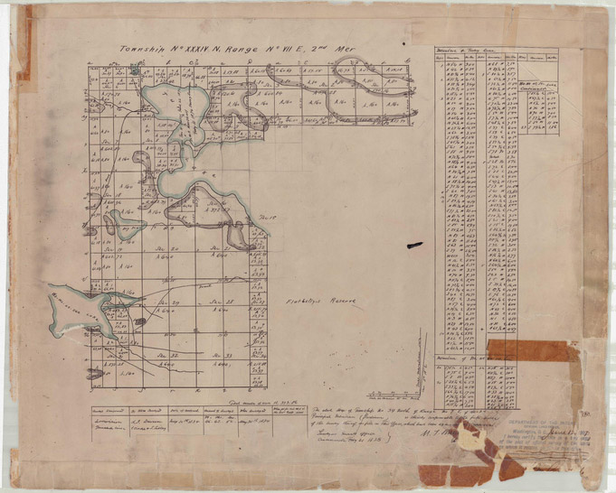
Flat Belly Reserve – 1834
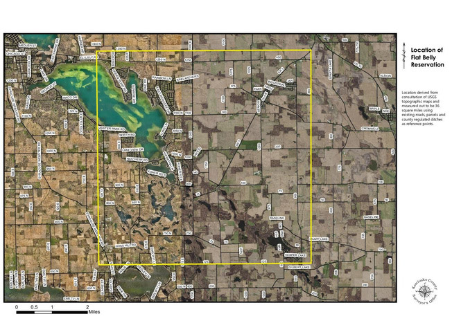
Flat Belly Reserve Aerial Outline – Present Day
Turkey Creek West – 1907
Turkey Creek Flat Belly Reserve – 1907
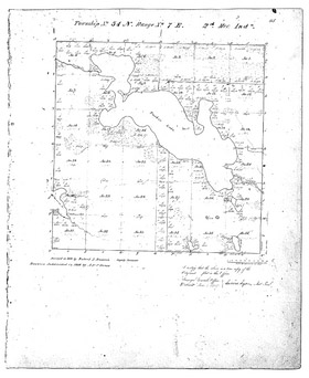
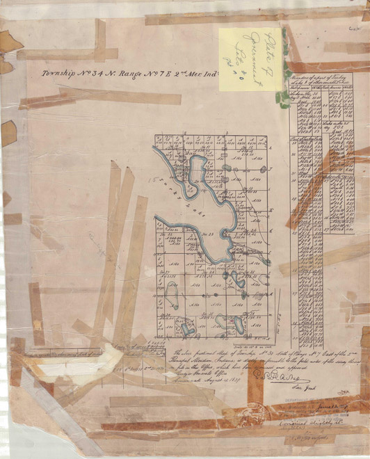
Turkey Creek with Flat Belly Reserve – 1838
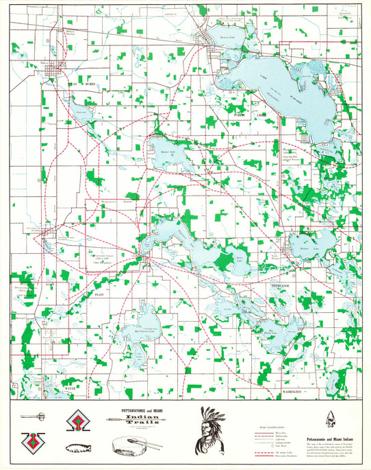
Map of Native American Trails – Unknown Date
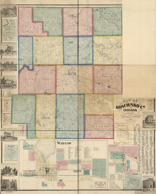
1866 County Map
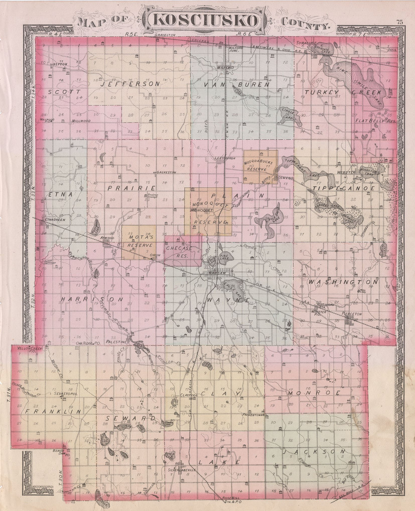
1879 County Map
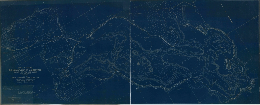
Wawasee & Syracuse Lakes – 1924
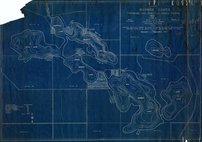
Barbee Lakes – 1938
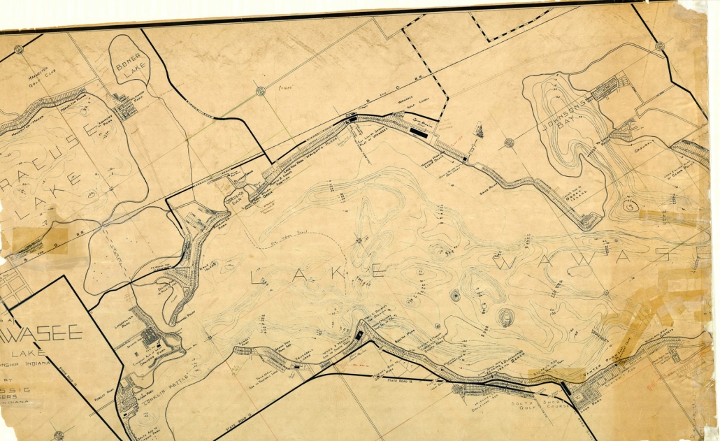
Partial Map of Wawasee & Syracuse – 1944
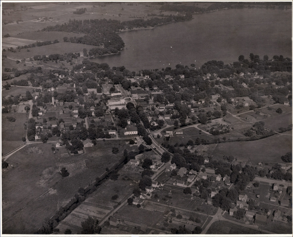
Syracuse Lake Photograph – Unknown Date
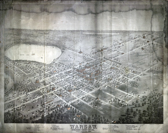
Warsaw Map – 1877
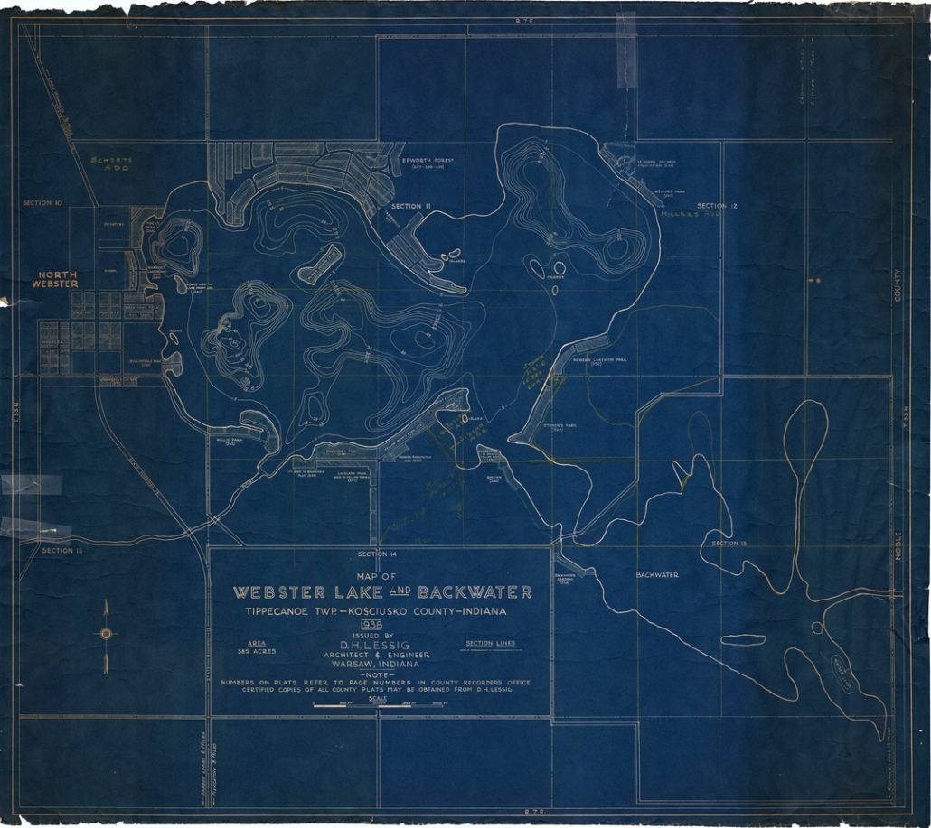
Webster & Backwater Lakes – 1938
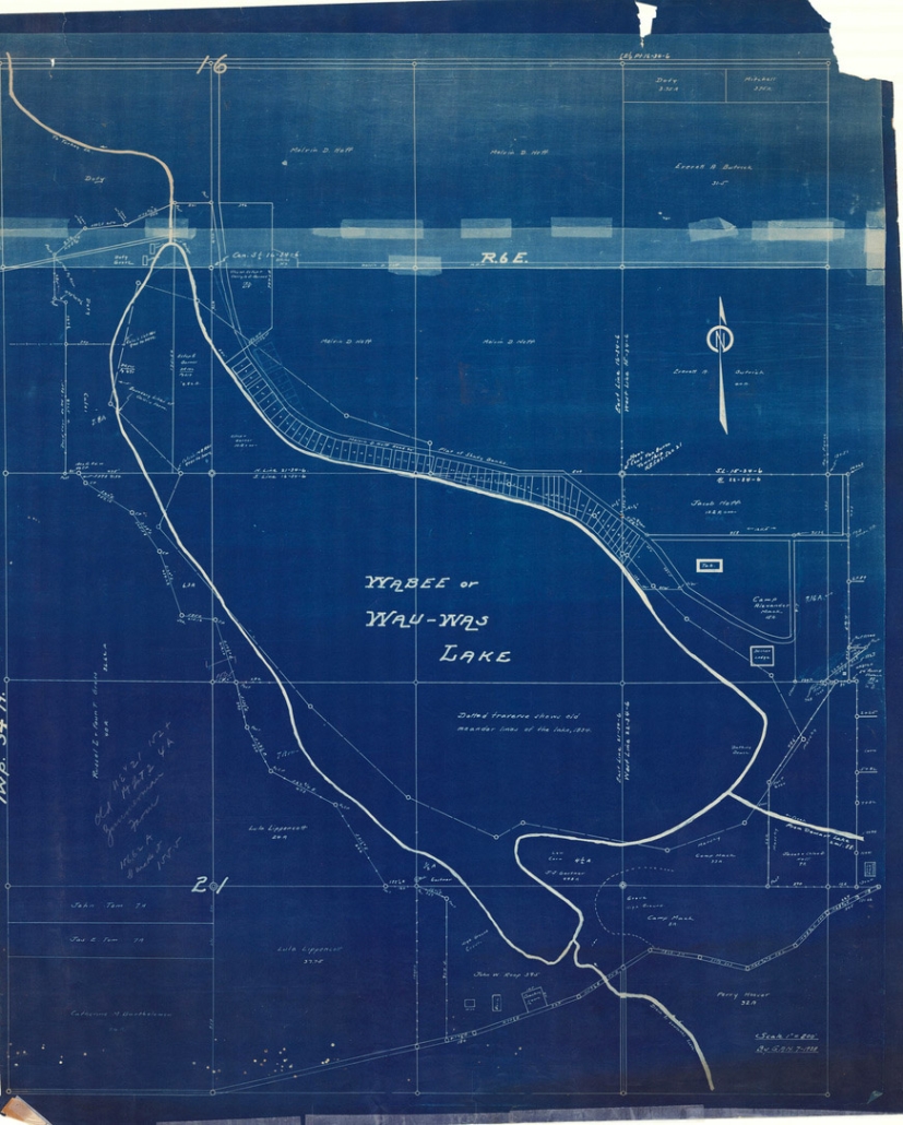
Waubee Lake – 1938
Other Kosciusko County maps available include:
County Atlas (1879 & 1914)
County Maps (as early as 1866)
Township Maps (as early as 1866)
Various Town Maps
Various Lake Maps (including elevations)
Topographic Maps
Aerial Imagery (as early as 1938)
*Specific map requests not listed may be inquired of by contacting the Surveyor’s Office.
